Menu

Map: Lower Deschutes River (laminated)

By John Shewey

Printed in two colors these maps show roads, towns, geographic features, rough and developed boat ramp, parks, camping areas & some public access for bank fishing, information on species availability, timing of steelhead and salmon runs (including monthly catch statistics), fishing techniques, terminal tackle suggestions & knot illustrations. 4 3/8 x 11 inches when folded.

$5.95

In stock

Quantity to Order:
Categories: ,

ISBN: 1-57188-117-4

EAN: 978-1-57188-117-5

Binding: Folded Map

Publish Date: 01/08/1997

Share this product!

Description

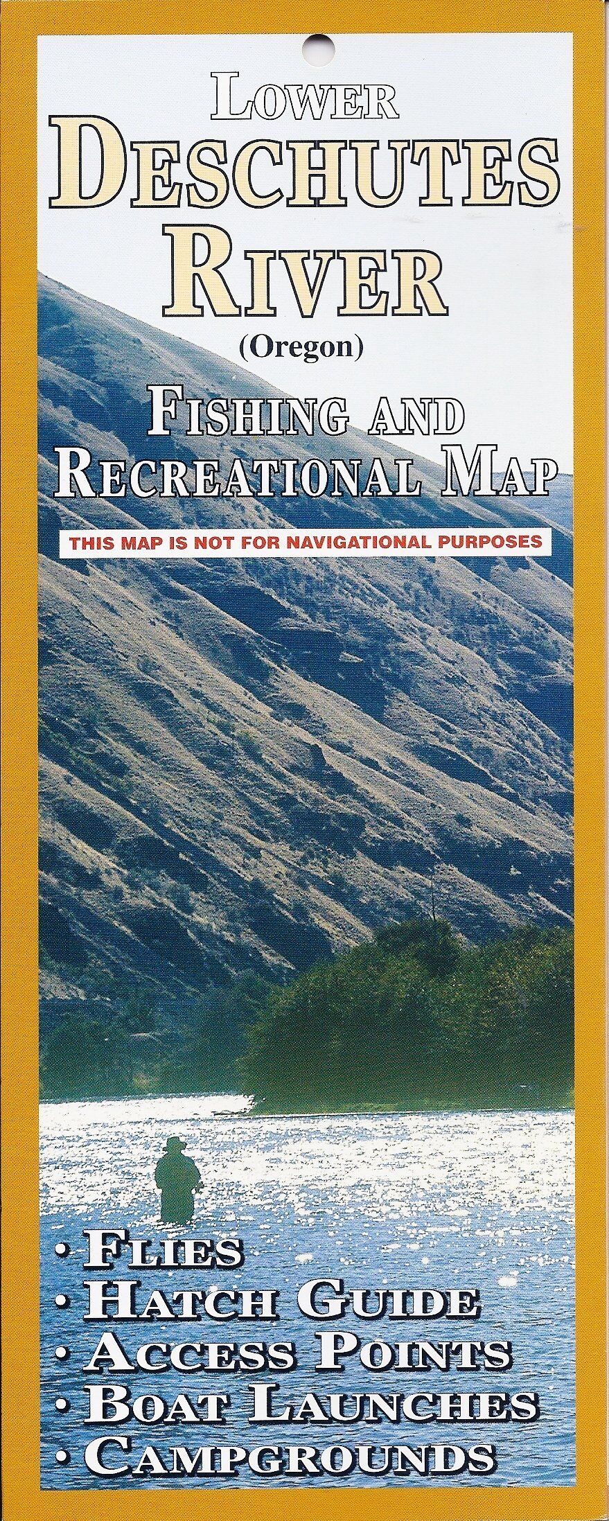
Introducing our state-of-the-art, fully laminated, easy-folding, all-color fishing guide to the lower 100 miles of the Deschutes River. Includes: insect hatches, fly patterns shown in color for both steelhead and trout, fly fishing techniques and tackle, campsites, roads, boat launches, rapids, everything the angler needs to know to be successful.

Additional information

Weight 0.05 lbs
Dimensions 4.2 × 0.1 × 11.9 in

Reviews

There are no reviews yet.

Only logged in customers who have purchased this product may leave a review.

FLY FISHING

Equipment / SuppliesLodges / Resorts
Online Retailers
Schools
Shops/Guides
Travel

MEDIA

ArtworkBlogsBooks
DVDs / VideosMagazines / Ezines
Websites
Clubs

Get in touch

AboutContact Us

Legal

Terms and ConditionsPrivacy Policy
Fly Fishing Digital Marketing Group
Copyright © 2024 Ask About Fly Fishing | As an Amazon Associate we earn from qualifying purchases through links from this website.
twitterfacebook